කඳු, කඳු නැගීම් සහ දසුන් ස්ථාන
බතලේගල
කෑගල්ල, කෑගල්ල දිස්ත්රික්කය
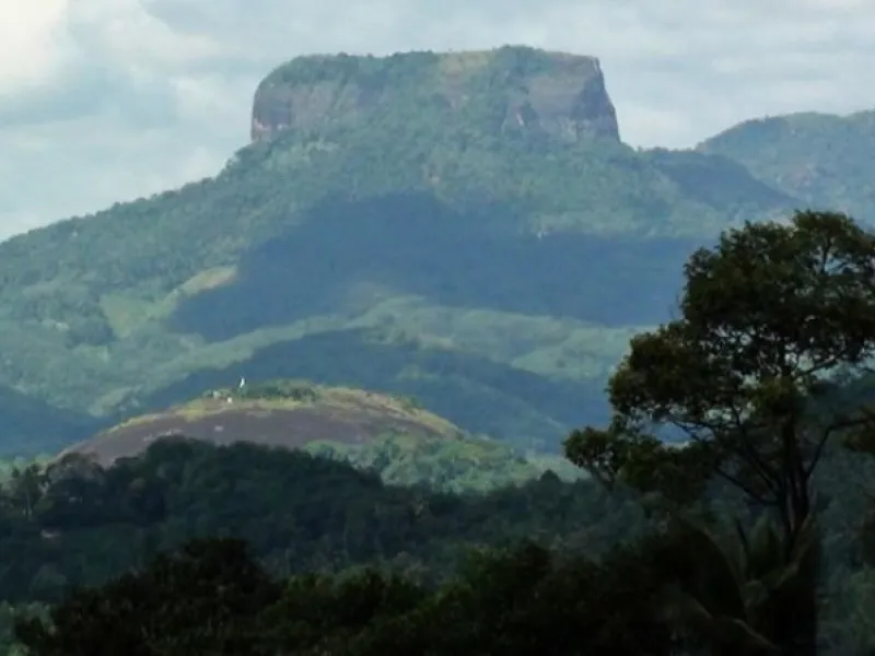
Distinctive flat-topped mountain rising above the Mawanella–Aranayake area.
කෑගල්ල, කෑගල්ල දිස්ත්රික්කය
Prominent mountain ridge visited for hiking and broad landscape views.
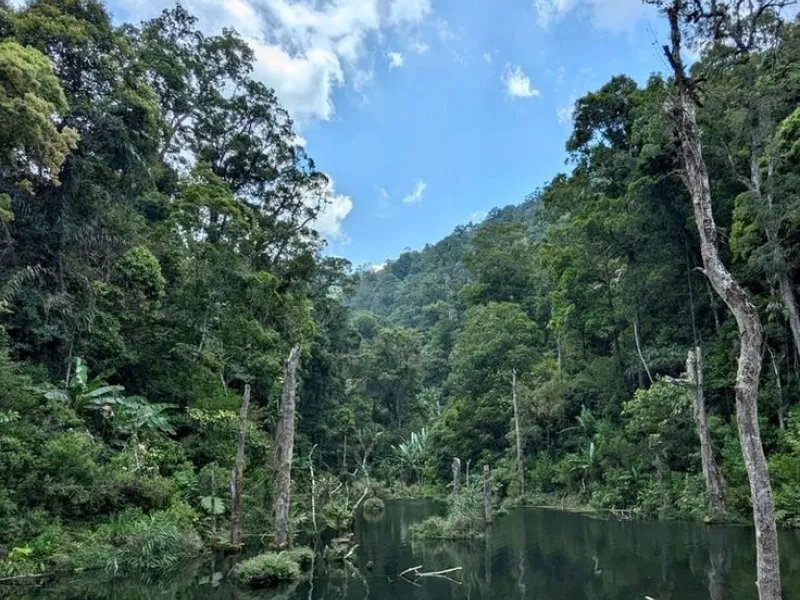
Alagalla Mountain Range, also known as Potato Range, is a prominent natural landmark located along the boundary of Kegalle and Kandy Districts in Sri Lanka, between the Sabaragamuwa and Central Provinces. Situated near Ihalakotte, Mawanella, and Kadugannawa, this mountain range is famous for its impressive rocky peaks, lush green surroundings, and breathtaking panoramic views. Rising to approximately 1,033 metres above sea level according to commonly cited geographical references, Alagalla is a popular destination for hikers, adventure enthusiasts, photographers, and nature lovers seeking to experience the beauty of Sri Lanka's central highlands.
The mountain range features several interconnected peaks, forested slopes, rocky pathways, and open grassy areas that create an exciting hiking experience. One of its most attractive features is the spectacular scenery visible from elevated viewpoints. On clear days, visitors can admire surrounding landmarks such as Bathalegala (Bible Rock), Ambuluwawa, Uthuwankanda, Devanagala, the Hanthana Mountain Range, and distant sections of the Knuckles Mountain Range. The changing landscapes, mist-covered hills, and peaceful rural surroundings make Alagalla an excellent location for sightseeing and landscape photography.
Alagalla also has considerable historical and cultural importance. The mountain range is closely associated with Balana Pass, a strategically important route used to enter the Kandyan Kingdom. Historically, this mountain pass served as a defensive gateway to the central highlands and played a significant role in protecting the kingdom against invading forces. The mountain is also mentioned in traditional Sinhala folk poetry, reflecting its longstanding place in Sri Lanka's cultural heritage. Another notable feature is Pooja Gala, one of the peaks in the range, where a small Buddhist stupa can be found.
Hiking is the main recreational activity at Alagalla Mountain Range. A commonly used trail begins near Ihalakotte Railway Station and continues through rural settlements, green vegetation, and increasingly steep mountain terrain. The journey offers opportunities to observe natural scenery, enjoy fresh mountain air, and experience the peaceful atmosphere of the surrounding countryside. However, some parts of the hike involve steep rocky surfaces, narrow ridges, and exposed sections that require physical fitness and careful navigation. Travellers unfamiliar with the route are encouraged to hire an experienced local guide and avoid attempting difficult sections without appropriate preparation.
The best time to explore Alagalla is during clear, relatively dry weather, preferably starting early in the morning to enjoy better visibility and avoid intense midday heat. Visitors should wear comfortable hiking shoes with good grip, carry sufficient drinking water, and bring suitable clothing for changing mountain conditions. Hiking during heavy rain, thunderstorms, or strong winds should be avoided because rocky surfaces and exposed ridges can become extremely dangerous. Visitors should also respect local communities, avoid disturbing wildlife, follow established trails, and carry away all waste to protect the mountain's natural environment.
With its impressive mountain scenery, adventurous hiking trails, historical significance, and outstanding viewpoints, Alagalla Mountain Range is one of the notable hiking and nature destinations in the Kegalle–Kandy region. It provides a rewarding experience for travellers interested in outdoor adventure, cultural heritage, photography, and the beautiful landscapes of Sri Lanka's central highlands.
Travel to Alagalla, Kegalle District using local roads or public transport; confirm the final approach and access point on the map before departure.
Wear suitable footwear and check trail access and difficulty beforehand.
Alagalla Mountain is in Alagalla, Kegalle District, Sri Lanka. Use the Google Maps link to check the exact approach and current directions.
Enjoy landscape views and, if access is permitted, explore suitable paths.
Choose clear daylight hours and check rain or trail conditions.
Hours: Not verified — confirm with site/operator. Entry fees: Not verified — do not publish a fee. Confirm current prices and access rules with the managing authority before visiting.
Travel to Alagalla, Kegalle District using local roads or public transport; confirm the final approach and access point on the map before departure. Wear suitable footwear and check trail access and difficulty beforehand.
කෑගල්ල, කෑගල්ල දිස්ත්රික්කය
Distinctive flat-topped mountain rising above the Mawanella–Aranayake area.
කෑගල්ල, කෑගල්ල දිස්ත්රික්කය
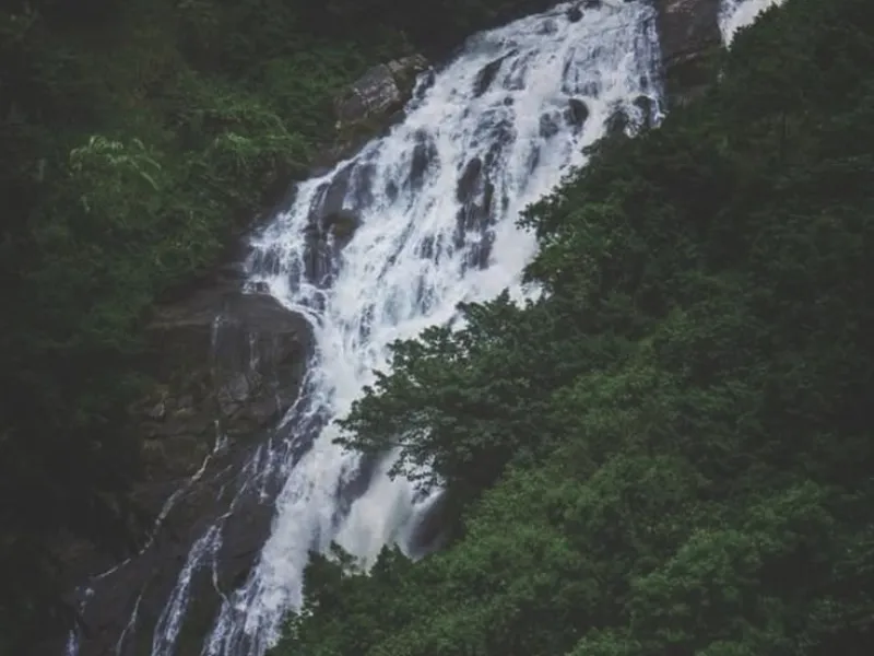
High waterfall in the Aranayake area amid rugged hill scenery.
කෑගල්ල, කෑගල්ල දිස්ත්රික්කය
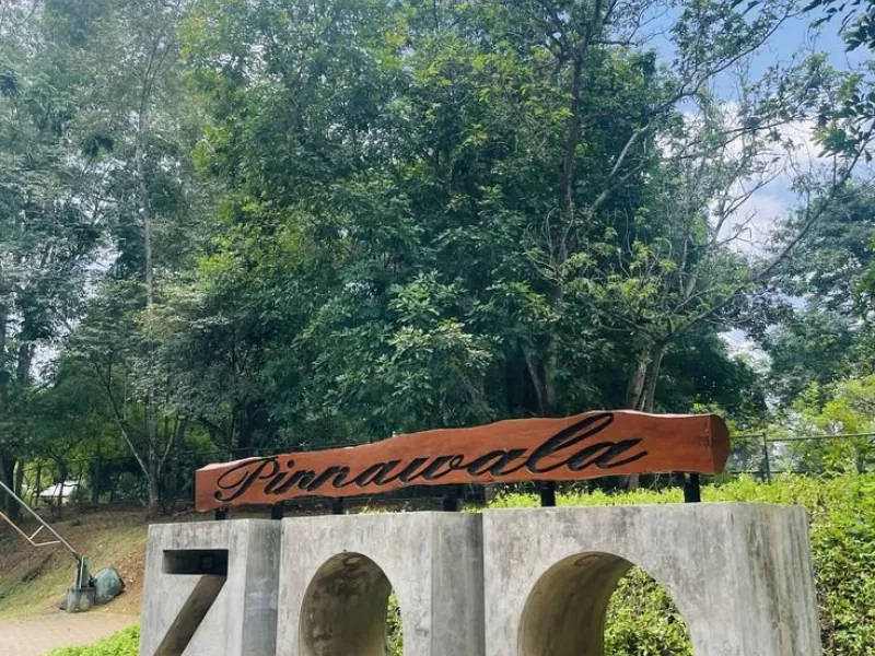
Zoological park near Pinnawala featuring Sri Lankan wildlife.
Tap to Lanka යෙදුම ලබා ගන්න
Share තට්ටු කර “Add to Home Screen” තෝරන්න.
කුකීස්
ඔබව පුරනය වී තබා ගැනීමට අපි කුකීස් භාවිත කරමු. ඔබේ එකඟතාව ඇතිව, වෙබ් අඩවිය වැඩිදියුණු කිරීමට පැමිණීම් ද ගණන් කරමු. පෞද්ගලිකත්ව ප්රතිපත්තිය