Mountains, hikes & viewpoints
Alagalla Mountain
Kegalle, Kegalle District
Prominent mountain ridge visited for hiking and broad landscape views.
Kegalle, Kegalle District
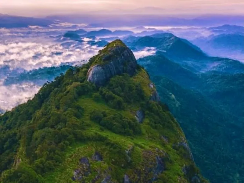
Distinctive flat-topped mountain rising above the Mawanella–Aranayake area.
Bathalegala, popularly known as Bible Rock, is a remarkable natural landmark located near Aranayake and Mawanella in the Kegalle District of Sri Lanka's Sabaragamuwa Province. Rising approximately 798 metres above sea level, this impressive mountain is famous for its distinctive flat-topped appearance, which resembles an open book when viewed from a distance. Its unusual shape earned it the name "Bible Rock" during the British colonial period. The mountain is also sometimes compared to the famous Sigiriya Rock Fortress because of its striking rocky formation and elevated summit.
Surrounded by lush green forests, rolling hills, agricultural landscapes, and peaceful rural villages, Bathalegala offers visitors an excellent opportunity to experience Sri Lanka's natural beauty. The mountain is particularly popular among hikers, nature enthusiasts, photographers, and adventure seekers. The hiking trail passes through scenic countryside, vegetation, and forested areas before reaching a steeper rocky section leading to the summit. From the top, visitors can enjoy breathtaking panoramic views of the surrounding valleys, mountains, and distant landscapes, making it an attractive destination for landscape photography and outdoor exploration.
Bathalegala also holds historical and cultural significance. According to local historical accounts, the mountain served as a strategic lookout point during the Kandyan Kingdom, with warning fires reportedly used to signal approaching threats. The summit also contains a small Buddhist religious site, adding cultural interest to the natural attraction. These features make Bathalegala more than just a hiking destination, connecting its impressive landscape with the history and traditions of the surrounding region.
The best time to explore Bathalegala is during the early morning, particularly when the weather is dry and visibility is clear. Visitors should wear comfortable hiking shoes, carry sufficient drinking water, and prepare for uneven terrain and steep sections of the trail. Extra caution is necessary near exposed rocky edges, especially during rainy or windy conditions. Visitors are encouraged to avoid littering, respect religious areas, and protect the surrounding natural environment.
With its extraordinary mountain formation, scenic hiking experience, panoramic viewpoints, and historical associations, Bathalegala (Bible Rock) is one of the notable nature and adventure attractions in Kegalle District, offering a memorable experience for travellers seeking to explore Sri Lanka's beautiful hill-country landscapes.
Travel to Aranayake, Kegalle District using local roads or public transport; confirm the final approach and access point on the map before departure.
Wear suitable footwear and check trail access and difficulty beforehand.
Bible Rock (Bathalegala) is in Aranayake, Kegalle District, Sri Lanka. Use the Google Maps link to check the exact approach and current directions.
Enjoy landscape views and, if access is permitted, explore suitable paths.
Choose clear daylight hours and check rain or trail conditions.
Hours: Not verified — confirm with site/operator. Entry fees: Not verified — do not publish a fee. Confirm current prices and access rules with the managing authority before visiting.
Travel to Aranayake, Kegalle District using local roads or public transport; confirm the final approach and access point on the map before departure. Wear suitable footwear and check trail access and difficulty beforehand.
Kegalle, Kegalle District
Prominent mountain ridge visited for hiking and broad landscape views.

Kegalle, Kegalle District
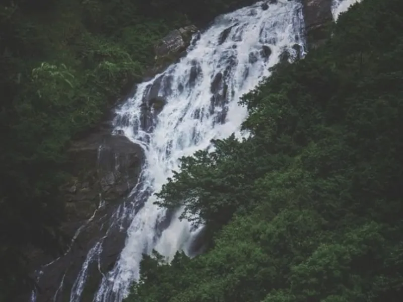
High waterfall in the Aranayake area amid rugged hill scenery.
Kegalle, Kegalle District
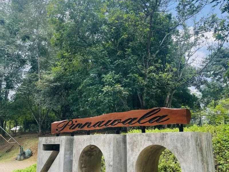
Zoological park near Pinnawala featuring Sri Lankan wildlife.
Get the Tap to Lanka app
Tap Share, then “Add to Home Screen”.
Cookies
We use cookies to keep you signed in. With your OK we also count visits to improve the site. Privacy policy