Skip to content
Tap to Lanka

Knuckles Conservation Forest

Rattota, Matale District

Get directions

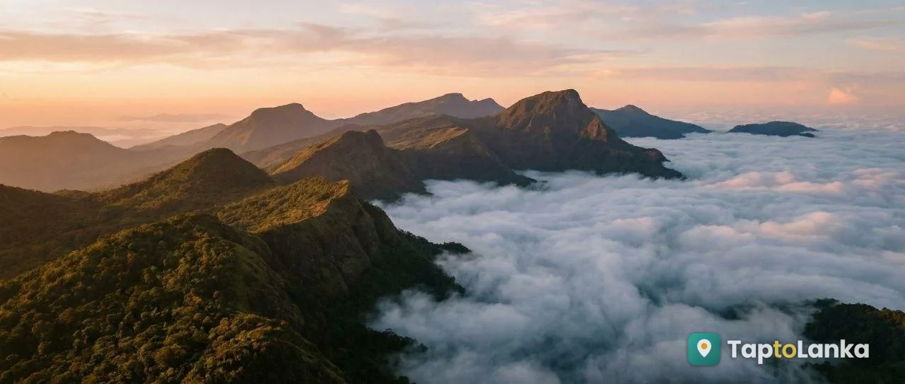
Knuckles Conservation Forest is a beautiful protected mountain forest in Sri Lanka's Central Province. It is famous for its mist-covered mountains, cloud forests, waterfalls, rich biodiversity, scenic viewpoints and hiking trails. It is an ideal destination for nature lovers, hikers, photographers a

Best time to visit
Early morning, around 6:00 AM–10:00 AM.
Opening hours
6:00 AM–5:00 PM
Entry fee
LKR 1,000–2,500 per person
Time needed
6–8 hours

Highlights

  • Beautiful mist-covered mountain peaks.
  • Unique cloud forests and montane grasslands.
  • Rich biodiversity and endemic wildlife.
  • Scenic mountain viewpoints and panoramic landscapes.
  • Hiking and trekking trails.
  • Waterfalls, rivers and natural streams.
  • Birdwatching and wildlife observation.
  • Traditional villages and local cultural experiences.
  • Photography and nature exploration.
  • Part of the UNESCO-listed Central Highlands of Sri Lanka.

Knuckles Conservation Forest is one of Sri Lanka's most important natural heritage areas, located in the central highlands across the Matale and Kandy districts. The mountain range is named after its distinctive shape, which resembles the knuckles of a clenched fist when viewed from certain locations.

The area is traditionally known as Dumbara Kanduvetiya, meaning the mist-covered mountain range. It contains different natural environments, including tropical rainforests, montane cloud forests, grasslands, streams and waterfalls.

The forest is internationally recognised for its exceptional biodiversity. It provides habitats for many endemic and endangered plants and animals, including rare birds, reptiles, amphibians and mammals.

Knuckles Conservation Forest was declared a Conservation Forest in 2000 and forms one of the three protected areas included in the Central Highlands of Sri Lanka UNESCO World Heritage property, inscribed in 2010.

Visitors can explore its natural beauty through guided trekking, birdwatching, photography and visits to scenic viewpoints and nearby villages. Popular places in the wider Knuckles region include Riverston, Pitawala Pathana, Mini World's End, Sera Ella, Meemure and Corbet's Gap.
Photos

How to get there

From Matale: - Travel towards Rattota. - Continue towards Riverston and Illukkumbura. - Follow the route to the selected forest entrance or attraction. From Kandy: - Travel towards Hunnasgiriya. - Continue towards Deanston or the selected Knuckles access point. - Follow the directions to the relevant trail entrance. Other access areas: - Laggala and Pallegama. - Panwila. - Meemure. The forest has several access points, so choose the correct entrance based on the trail you plan to explore. Mountain roads may be narrow, steep and rough in certain areas.

Tips for visitors

Wear comfortable hiking shoes with good grip. Carry sufficient drinking water and snacks. Bring a raincoat or waterproof jacket. Use leech socks or suitable leech protection. Hire a registered local guide for longer or difficult trails. Obtain the required forest entry permits. Avoid trekking during heavy rain or dangerous weather. Do not disturb wildlife or damage plants. Take all rubbish back with you. Carry cash because facilities and shops may be limited. Inform someone about your trekking route and expected return time. Follow the instructions of forest officers and guides.

Frequently asked questions

Where is Knuckles Conservation Forest located?

Knuckles Conservation Forest is located in Sri Lanka's Central Province, extending across the Matale and Kandy districts.

Why is Knuckles Conservation Forest famous?

It is famous for its mist-covered mountains, cloud forests, waterfalls, hiking trails, scenic landscapes and rich biodiversity.

Is Knuckles Conservation Forest a UNESCO World Heritage Site?

Yes. It is one of the three component areas of the Central Highlands of Sri Lanka UNESCO World Heritage property, inscribed in 2010.

Can visitors go hiking in Knuckles Conservation Forest?

Yes. Visitors can enjoy different hiking and trekking routes. Some routes require permits and registered local guides.

What is the best time to visit Knuckles Conservation Forest?

February to April and August to September are generally recommended for trekking and enjoying mountain views. Weather and trail conditions should be checked before travelling.

Visitor reviews

No reviews yet. Been here? Share your tips for other visitors.

Sign in to write a review
Suggest an edit or report wrong info

More places nearby

See all →
Wasgamuwa National Park
National parks & wildlife

Wasgamuwa National Park

Matale, Matale District

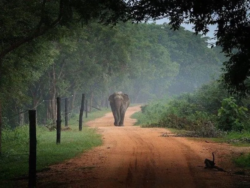
Wasgamuwa National Park is a protected wildlife area in Sri Lanka, famous for its wild elephant herds, diverse birdlife, dry-zone forests, rivers and grasslands. Visitors can explore the park through guided jeep safaris.

Jathika Namal Uyana (Pink Quartz Mountain)
National parks & wildlife Must see

Jathika Namal Uyana (Pink Quartz Mountain)

Dambulla, Matale District

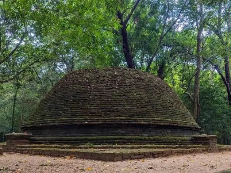
Jathika Namal Uyana is a remarkable natural and cultural heritage destination featuring a large Na ironwood forest, an ancient pink rose quartz mountain range and Buddhist archaeological remains. Visitors can enjoy forest walks, mountain hiking, photography and views of the surrounding dry-zone land

Sigiriya Rock Fortress
Historical & heritage sites Must see

Sigiriya Rock Fortress

Sigiriya, Matale District

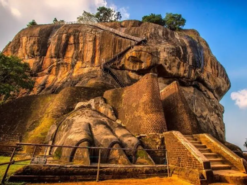
UNESCO-listed ancient rock citadel with frescoes, landscaped gardens and summit ruins.

Pidurangala Rock
Mountains, hikes & viewpoints Must see

Pidurangala Rock

Sigiriya, Matale District

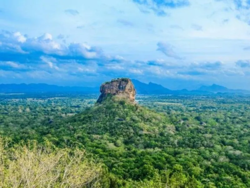
Rock hike renowned for open views across Sigiriya and its surrounding plains.

Golden Temple of Dambulla
Buddhist temples Must see

Golden Temple of Dambulla

Dambulla, Matale District

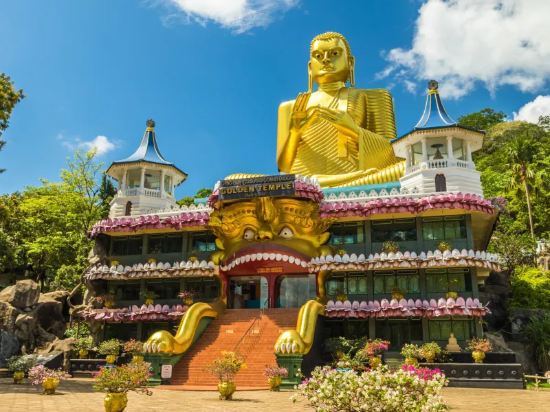
Buddhist temple complex at the base of the Dambulla cave sanctuary.

Nalanda Gedige
Historical & heritage sites Must see

Nalanda Gedige

Dambulla, Matale District

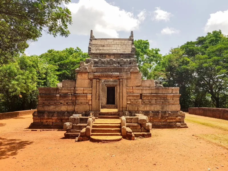
Early stone sanctuary showing a distinctive blend of South Asian architectural traditions.

Get directions Plan trip